Seven prescribed burns planned across Southeast Fire Centre
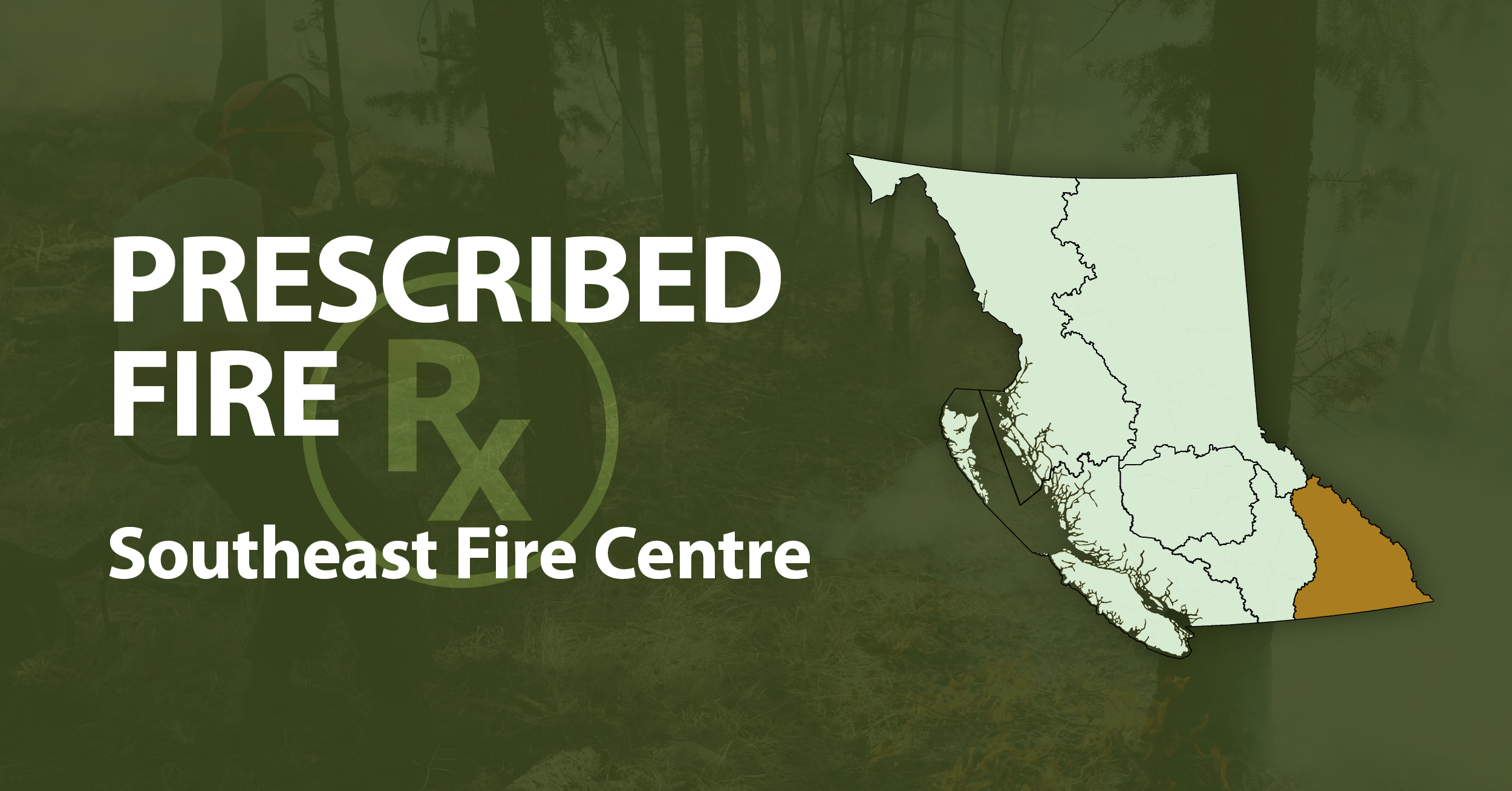
The BC Wildfire Service has announced a series of prescribed and ecosystem restoration burns across the Southeast Fire Centre, with projects planned from the West Kootenay to the East Kootenay.
BC Wildfire Service graphic
Residents across parts of the Kootenays could see smoke in the coming days as the BC Wildfire Service prepares to support six prescribed and ecosystem restoration burns across the Southeast Fire Centre.
The projects are planned near Deer Park, Bull River, Canal Flats, Radium Hot Springs, Wilmer and Windermere. Five of the six have stated maximum areas totalling 536.8 hectares, while the current burn unit size for the Kootenay River Ranch project has not been specified.
The largest project is at Deer Park Mountain, where burning could begin as early as Sept. 17 within one kilometre of Deer Park. The BC Wildfire Service is supporting the Ministry of Water, Land and Resource Stewardship on a burn covering up to 450 hectares.
The work could be carried out in several stages over the following month as conditions allow. Its objectives include reducing ground fuels, restoring open forest conditions and reducing the risk of severe future wildfires.
Smoke may be visible from Deer Park, Renata, Edgewood and Castlegar, as well as from Highway 6 and Broadwater Road. Helicopters are expected to support ignition operations.
Three projects could begin as early as Sept. 18.
Near Bull River, the BC Wildfire Service is supporting Galloway Lumber with site-preparation burns covering up to 22 hectares about 20 kilometres northeast of the community, near Camp and Van creeks in the lower Bull River Valley.
The project is intended to reduce combustible material, prepare the site for planting and regeneration, and reduce future wildfire risk. A drone may be used for ignition and monitoring.
Smoke is expected to remain mainly within the Bull River Valley, although some could move into the Kootenay Valley overnight and may be visible from Bull River, Wardner and Highway 3.
Another burn is planned at Kootenay River Ranch, about eight kilometres south of Canal Flats beside Highway 93/95. The BC Wildfire Service is supporting the Nature Conservancy of Canada on the multi-year ecosystem restoration project.
The work is intended to improve wildlife habitat, support water quality, address forest health issues associated with dense tree stands and reduce wildfire risk. Smoke may be visible from Canal Flats, Fort Steele and surrounding areas, including along Highway 93/95.
The BC Wildfire Service is also supporting BC Parks and the Shuswap Band on a culturally informed ecosystem restoration burn in the Dry Gulch Provincial Park area, about 4.5 kilometres south of Radium Hot Springs.
That project will cover up to nine hectares and is intended to restore vegetation within the park, address dense forest conditions, improve wildlife habitat and reduce forest fuels. Smoke is expected to be highly visible from Radium Hot Springs and surrounding communities and from Highway 93/95.
Two more projects could begin as early as Sept. 21.
North of Wilmer, the BC Wildfire Service is supporting the Rocky Mountain Natural Resource District and Canadian Wildlife Service on a 36.8-hectare ecosystem restoration burn about one kilometre north of the community.
Objectives include addressing forest health issues in dense stands, improving ecological resilience and biodiversity, providing wildlife habitat and reducing the effects of future wildfires.
Smoke is expected to be highly visible from Wilmer and nearby communities and from Highway 93. Traffic control is planned for Westside Road, which may be closed intermittently while crews are working, and stopping near the burn area will not be permitted during operations.
The sixth project is approximately 7.5 kilometres southeast of Windermere on ʔAkisq̓nuk First Nation land.
The BC Wildfire Service is supporting ʔAkisq̓nuk First Nation on the ecosystem restoration burn, which will cover up to 19 hectares. The work is intended to reduce dead wood and other combustible material, improve ecological habitat and grassland forage for wildlife, and reduce the risk and severity of future wildfires.
Smoke is expected to be highly visible from Windermere, nearby communities and Highway 93.
Several of the projects are connected to the Kootenay ʔa·kinq̓uku Prescribed Fire Training Exchange, or TREX.
The Bull River project is expected to be implemented by TREX participants, while participants are also expected to be involved at Windermere and will likely participate at Wilmer and Kootenay River Ranch.
The training exchange is co-hosted by the Ktunaxa Nation and BC Wildfire Service, with support from the First Nations’ Emergency Services Society and UBC Okanagan’s Canadian Prescribed Fire Training Program. Participants work alongside experienced wildfire personnel and project partners.
None of the announced start dates is fixed. Ignition will depend on weather, fuel and site conditions and will proceed only when conditions allow project objectives to be met and smoke to disperse appropriately.
Smoke may remain in affected areas for several days after burning, particularly during the mornings following operations.
Prescribed fire is used by land managers to reduce accumulated fuels, restore ecosystems and lower the potential severity of future wildfires. Each project operates under a burn plan that sets acceptable weather and fuel conditions, staffing and equipment requirements, mitigation measures and post-fire monitoring.




The Regional District of Kootenay Boundary has approved a 10-year operating agreement with the Christina Gateway Community Development Association for the Christina Lake Welcome Centre.