Summerland remains evacuated as Bald Range wildfire emergency spreads into Peachland
Entire municipality remains under evacuation order while orders and alerts extend into parts of Peachland; 238 residents from two Summerland facilities are being relocated
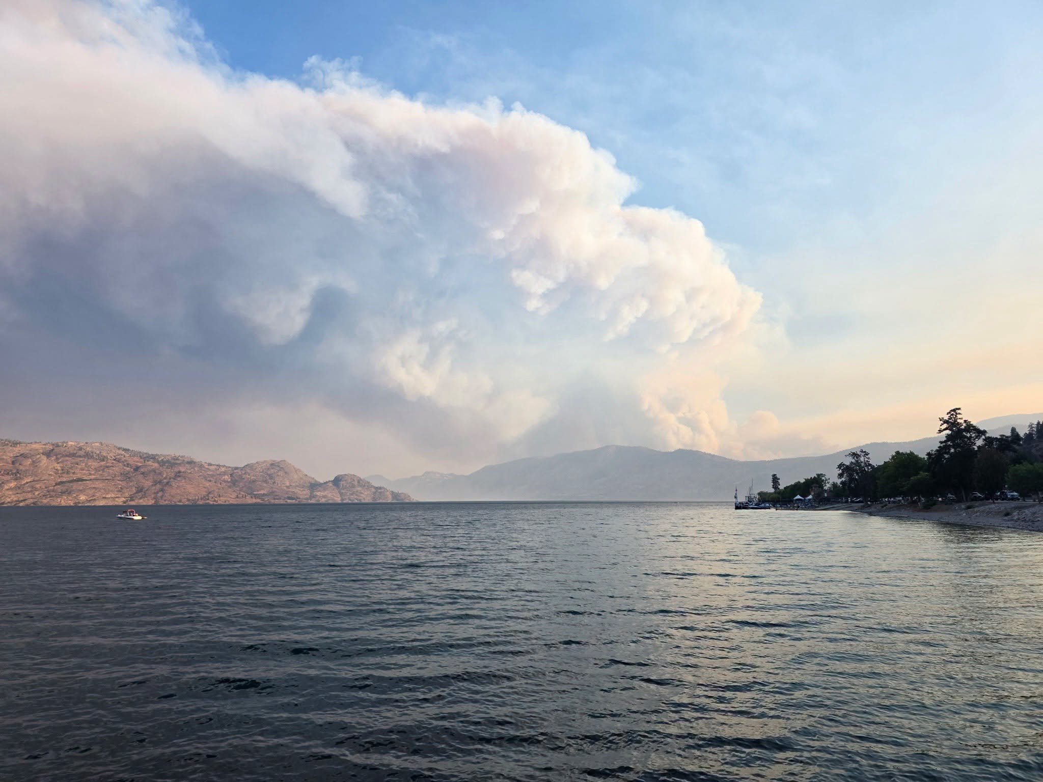
Smoke rises from the Bald Range wildfire near Summerland, B.C., as evacuation orders and alerts remain in effect across Summerland and parts of the Peachland area on Aug. 8, 2026.
BC Wildfire service photo.
The entire District of Summerland remained under evacuation order late Saturday morning as the Bald Range wildfire continued to drive a major emergency across the central and southern Okanagan, with evacuation orders and alerts also extending into parts of Peachland.
Summerland confirmed in an update at 11:23 a.m. Saturday that the evacuation order for the entire community remained in effect. Penticton is serving as the primary host community for Summerland evacuees.
The District of Summerland’s evacuation order for the entire community took effect at 12:10 a.m. Saturday. A BC Emergency Alert followed at 3:10 a.m., telling everyone within the district to evacuate immediately because the Bald Range wildfire was creating a significant risk to life.
Evacuation orders had already been issued Friday night for rural areas west and north of Summerland, including Faulder and areas around Darke Lake and Bathville Road, as well as the Brent Road and Log Chute Road area south of Peachland.
The emergency expanded farther into Peachland overnight.
At 1:45 a.m., Central Okanagan Emergency Operations issued an evacuation order for properties on Brenda Mine Road and in the Renfrew and Upper Princeton areas. The order covers dozens of streets and properties, including portions of Highway 97 and Princeton Avenue. Residents in the order area were instructed to leave immediately.
At 3:35 a.m., officials expanded an evacuation alert to include the Peachland watershed and Brenda Mines area, Lower Princeton and the downtown core. People within the alert area were told to be ready to leave at a moment’s notice and prepare for the possibility of being away from home for an extended period.
In a noon update Saturday, Central Okanagan Emergency Operations confirmed that both the evacuation order and evacuation alert remained in effect for Peachland and Electoral Area West.
Residents are being directed to the Central Okanagan Emergency Operations interactive map to check the status of individual addresses because order and alert boundaries can change independently.
BC Wildfire Service continues to classify Bald Range wildfire K51490 as out of control.
Officials said heavy smoke and poor visibility prevented aircraft from mapping the full fire perimeter Friday, and updated size and perimeter information will be released when reliable information becomes available.
Summerland reported at 2:33 a.m. that power had been lost throughout the district because of impacts from the wildfire. Municipal officials said crews would work to restore service when it was safe to do so in coordination with first responders. The district’s 11:23 a.m. update did not provide a further power-restoration update.
The fire is also affecting health-care operations.
Interior Health said Saturday it is relocating 48 residents from Dr. Andrew Pavilion and working with West Coast Seniors Living to relocate another 190 residents from Summerland Seniors Village to alternate locations outside the affected area.
Families are being contacted directly with information about where residents are being moved.
People requiring emergency medical care are being directed to Penticton Regional Hospital.
The Regional District of Okanagan-Similkameen is directing evacuees who need Emergency Support Services to reception centres in Penticton or West Kelowna.
Other major fires remain active across the region
While Bald Range is driving the most urgent evacuation situation Saturday, several other significant wildfires remain active across the Okanagan and West Kootenays.
Quilpituk Creek
In the Central Okanagan West Electoral Area, thousands of properties remain affected by the Quilpituk Creek wildfire.
The latest detailed Central Okanagan Emergency Operations bulletin, issued at 6:29 p.m. Friday, said evacuation orders remained in effect for 2,648 properties, with another 312 properties under evacuation alert.
At that time, BC Wildfire Service listed the fire at 1,139 hectares and out of control. Emergency officials said there were no known structure losses as of Friday evening.
Firefighters, heavy equipment, structure-protection personnel and aircraft continued working on the incident.
Smoke had reduced daytime heating and moderated fire behaviour across much of the fire Friday, although officials cautioned that activity could increase along the southern flank if winds strengthened.
Westside Road also remained closed at the time of that update between Highway 97 and Caesars Landing.
No newer detailed Quilpituk Creek incident bulletin had been posted by Central Okanagan Emergency Operations by the time of this report Saturday.
Bradley Creek
There has been some improvement for residents affected by the Bradley Creek wildfire in the North Okanagan.
Okanagan Indian Band rescinded an evacuation order at 5 p.m. Friday for Desert Cove and several areas between Antoine Road and Wilfred Road, including Spotted Eagle Drive, Hawhola Road and Smitken Road.
Properties in the rescinded area that use independent water systems were permitted to return home, but an evacuation alert remains in place, meaning residents must still be prepared to leave again if conditions change.
A Do Not Consume Order also remains in effect for addresses on the Okanagan Indian Band water system.
The Bradley Creek wildfire remains an active BC Wildfire Service incident.
Sinlahekin Fire
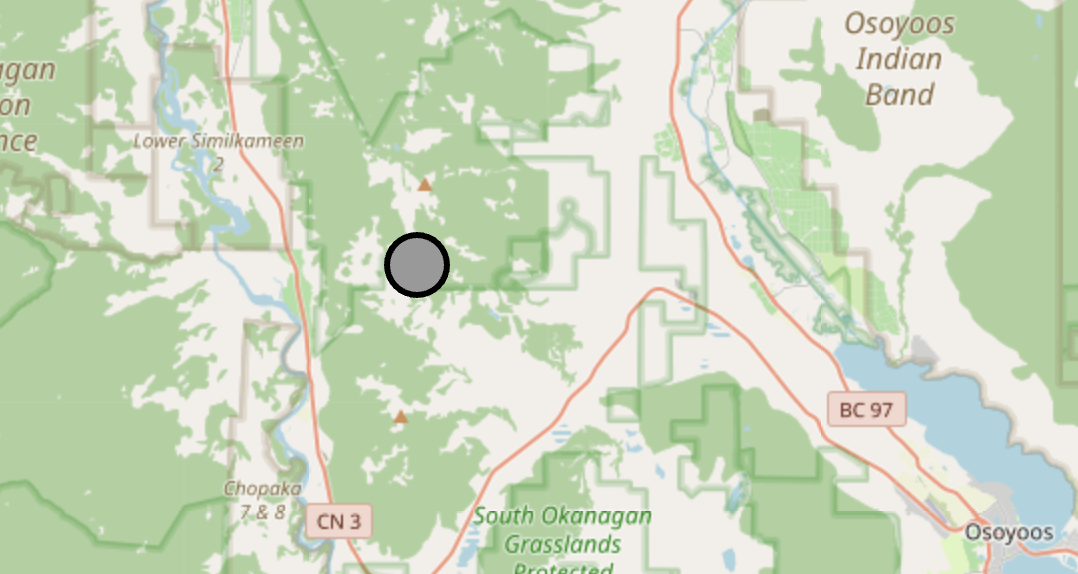
South of the Canada-U.S. border, the Regional District of Okanagan-Similkameen continues to monitor the Sinlahekin wildfire.
In its latest update, issued at 4 p.m. Friday, the RDOS said no action was required within the regional district and there were no RDOS evacuation alerts or orders related to the fire.
Residents around Chopaka and Nighthawk are still being asked to remain prepared in case conditions change.
The Lower Similkameen Indian Band has issued its own evacuation alert as a precaution.
The RDOS said it remains in communication with the Lower Similkameen Indian Band, Osoyoos Indian Band, Upper Similkameen Indian Band, BC Wildfire Service and other agencies as part of cross-border monitoring.
West Kootenays
The evacuation picture has improved in the Regional District of Central Kootenay, although two sizeable wildfires remain active.
In its latest regional wildfire bulletin, issued at 4:30 p.m. Friday, the RDCK said there were no evacuation alerts or orders anywhere in the regional district.
The Poplar Creek wildfire, approximately 60 kilometres north of Kaslo, was estimated at 292 hectares. An evacuation alert affecting 30 properties was rescinded Thursday, although a BC Wildfire Service area restriction remains in effect. Crews and helicopters were continuing suppression work.
The Inonoaklin Creek wildfire, northwest of the Needles Ferry, was estimated at 1,223 hectares in the same bulletin. Its remaining evacuation alert was rescinded Friday, although an area restriction also remains in effect there.
Heavy equipment, firefighters and helicopters were working the fire, with structure protection established in the affected area.
Boundary
The Boundary remained comparatively quiet in terms of community evacuations Saturday morning.
No new Boundary wildfire evacuation notice was found in the RDKB material reviewed for this report. Older wildfire notices appearing in searches, including information about the Goosmus fire, relate to previous emergencies rather than the current fire season.
Residents should continue checking the Regional District of Kootenay Boundary and BC Wildfire Service for changes because wildfire conditions can shift quickly.
Wildfire conditions across the Southern Interior remain dynamic. Residents in evacuation areas should rely on local emergency-management agencies and BC Wildfire Service for the latest information before travelling or attempting to return home.
Information in this story is current to approximately 12:30 p.m. PDT on Saturday, Aug. 8, 2026.
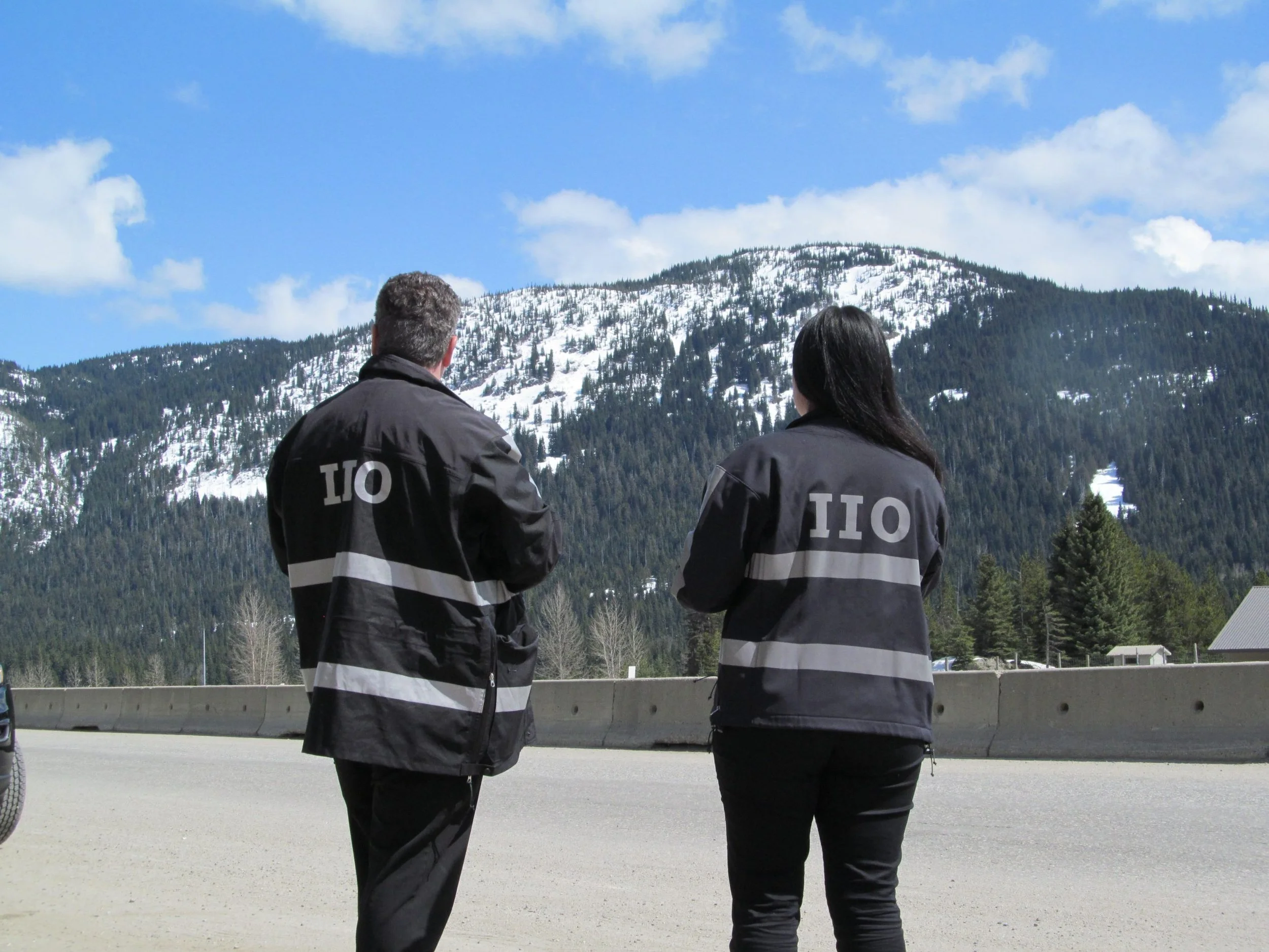







Residents across parts of the Kootenays could see smoke in the coming days as the BC Wildfire Service prepares to support six prescribed and ecosystem restoration burns across the Southeast Fire Centre.