South Okanagan earthquake reported felt in Grand Forks
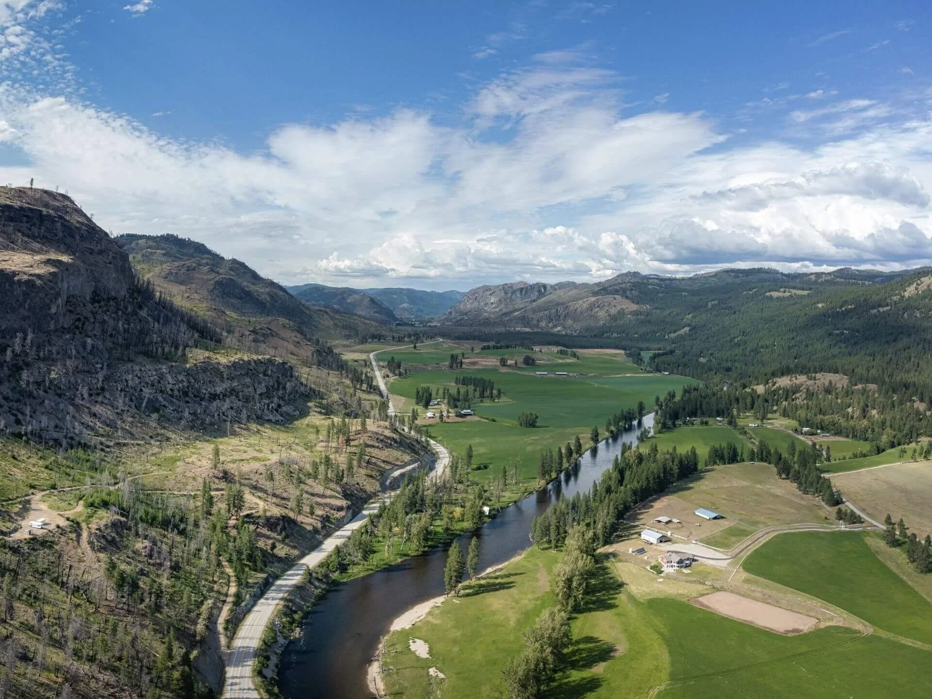
Rock Creek, pictured here, lies east of the South Okanagan area where a magnitude 2.9 earthquake was recorded Aug. 18.
A small earthquake struck the South Okanagan late Tuesday night, three days after another smaller earthquake was recorded east of Okanagan Falls.
Earthquakes Canada recorded the magnitude 2.9 earthquake at 11:17 p.m. PDT on Aug. 18, locating it 29 kilometres southeast of Penticton.
The federal agency classified the earthquake as a felt event.
The earthquake occurred west of the Boundary, in the South Okanagan.
Another earthquake had been recorded east of Okanagan Falls three days earlier.
Earthquakes Canada’s database shows a magnitude 1.7 earthquake at 11:50 a.m. on Aug. 15, six kilometres east of Okanagan Falls. That earthquake was recorded at a depth of 11.3 kilometres.
Earthquakes Canada continues to list the Aug. 18 earthquake among its recent significant seismic events in western Canada.
The agency also maintains a public “Did you feel it?” questionnaire for people who believe they experienced an earthquake, allowing residents to report where they were and what they felt.






Rossland council will be asked Monday to support recreation staff in further investigating recommendations that include a City sponsorship framework, naming recognition, annual trail-maintenance funding and a more formal public review of major recreation capital projects.