Bald Range wildfire grows to 13,618 hectares as new evacuation order issued Sunday
The wildfire threatening Summerland and Peachland remains the region’s most serious emergency, while Quilpituk Creek remains out of control, Bradley Creek is now being held and evacuation alerts have been rescinded in the West Kootenay.
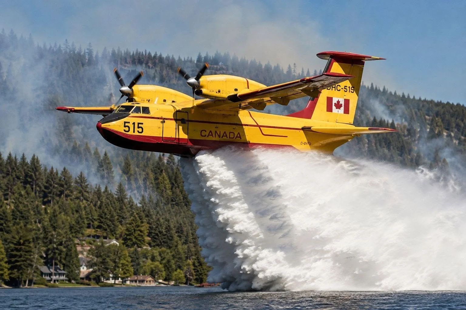
While legacy water bombers target the volatile Summerland wildfires that forced 20,000 residents to flee, manufacturing remains underway on the new DHC-515 "Super Scooper" fleet. Assembly markers were recently cleared on the upgraded aircraft to support future emergency responses.
Image courtesy of De Havilland Aircraft of Canada
The Bald Range wildfire threatening Summerland and Peachland remained the most critical wildfire emergency in the southern Interior Sunday, growing to more than 13,600 hectares as another evacuation order was issued west of Penticton.
The Regional District of Okanagan-Similkameen issued a new evacuation order at 11 a.m. Sunday for the Brent Lake and Shingle Creek area in Electoral Area F, citing an immediate danger to life safety from the wildfire. People in the affected area were told to leave immediately and register at the Penticton Trade and Convention Centre.
BC Wildfire Service mapped the out-of-control Bald Range fire at 13,618.2 hectares Sunday morning, up from 10,340.7 hectares in the previous mapping — an increase of approximately 3,277 hectares.
The new order adds to an evacuation footprint that already covers Summerland and extends north toward Peachland and south and west through parts of the RDOS and Penticton Indian Band.
As of the RDOS's 9:30 p.m. update Saturday — before Sunday's new Brent Lake and Shingle Creek order — 416 RDOS properties were under evacuation order and 1,100 were on evacuation alert. The entire District of Summerland, representing 5,688 properties, was under evacuation order. Penticton Indian Band had 38 properties under order and 1,082 on alert. Those numbers should not be treated as Sunday's current totals because the evacuation area expanded again Sunday morning.
On the Peachland side of the fire, evacuation orders and alerts also remained in place in portions of Peachland and Central Okanagan Electoral Area West in the latest Central Okanagan Emergency Operations information available Sunday.
On Saturday, the Central Okanagan evacuation order was expanded to include properties on Brenda Mine Road and in the Renfrew and Upper Princeton areas. The evacuation alert was also expanded into the Peachland watershed and Brenda Mines area, Lower Princeton and the downtown core. Central Okanagan officials had not posted a newer Bald Range evacuation release by shortly before 1 p.m. Sunday.
RCMP and the BC Coroners Service are also investigating a report of a possible wildfire-related death. Southeast District RCMP said Saturday that a Meadow Valley resident had reported a possible fatality, but hazardous conditions in the area had prevented authorities from confirming the report. Police said officers were working closely with the affected family.
BC Wildfire Service said conditions were expected to remain challenging Sunday. Increased fire behaviour was reported overnight on the southern end of the fire and around Fish Lake Road and Garnet Valley Road. Light easterly winds Sunday morning were forecast to shift to westerlies later in the day and overnight, while exceptionally dry fuels mean relatively little wind is needed to move fire from the ground into tree crowns. BCWS said fire behaviour could increase significantly if clearing skies break the inversion and increase winds.
The latest Sunday-morning response information listed 78 firefighters, nine helicopters, 14 pieces of heavy equipment and 54 structure-protection personnel assigned to Bald Range, along with an incident management team. Additional firefighters, structure-protection personnel, fire departments, heavy equipment and aircraft were being mobilized. Smoke and poor visibility could limit the use of helicopters and airtankers.
Crews were working to establish control lines and defend structures, with particular attention being paid to the drainage between Fish Lake and Garnet Valley and the southern flank of the fire.
Highway 97 remains closed through fire area
Highway 97 remained closed through the affected area Sunday. EmergencyInfoBC lists the closure from Antlers Beach to Pyramid Picnic Area.
The province says 201 Forest Service Road can be used as an alternate route but explicitly warns motorists not to use other Forest Service Roads, even if navigation apps direct them there. Travellers should check DriveBC before attempting to travel through the region because highway conditions can change quickly.
The Bald Range emergency prompted the province to declare a state of provincial emergency Saturday. Premier David Eby said there had been significant losses of homes and property and that some people became trapped as fire conditions changed rapidly. Air evacuations were underway Saturday for people who remained isolated behind the fire perimeter.
Officials continue to assess damage. BCWS said Sunday that confirmed information about structural impacts would be released by regional districts and local authorities as it becomes available. A final verified structure-loss total has not yet been released.
The District of Summerland also began planning for eventual phased re-entry Sunday, but officials cautioned there was no timeline for when residents would be permitted to return and that re-entry would happen only as individual areas are considered safe.
Quilpituk Creek remains out of control
The Quilpituk Creek wildfire south of Fintry also remains out of control.
BC Wildfire Service's Sunday information put the fire at approximately 1,238.8 hectares, an increase from the 1,139-hectare estimate contained in Central Okanagan's Saturday update.
Evacuation orders and alerts remain in effect in the Quilpituk Creek fire area along Westside Road. Central Okanagan Emergency Operations has warned people inside evacuation-order areas to leave, noting that wildfire activity, road conditions and damaged infrastructure can make it difficult or impossible for emergency services to reach people who remain behind.
BCWS planned to continue work Sunday on a planned ignition along the western flank if conditions allowed, while crews continued attacking the fire from the ground and air.
Bradley Creek now being held
There was better news from the North Okanagan, where the Bradley Creek wildfire is now classified as Being Held.
The fire is estimated at approximately 2,634.8 hectares. A Being Held classification means the fire is expected, based on fuel and weather conditions and available resources, to remain within its current perimeter, control line or boundary. It does not mean the fire is extinguished or under control.
Evacuation restrictions have eased in several surrounding areas.
In Spallumcheen, all properties that had remained under evacuation order were downgraded to evacuation alert Saturday evening, while the previous alert areas were rescinded. The Columbia Shuswap Regional District also rescinded its Bradley Creek evacuation alert Saturday.
Conditions remain more complicated on Okanagan Indian Band lands and in other areas affected by the fire. OKIB continues working through damage assessments, infrastructure hazards and re-entry planning, and residents are being returned only when individual areas are determined to be safe.
A Do Not Consume Order remains in effect for all OKIB water systems, while hazards in affected areas include damaged power infrastructure, dangerous trees, unsafe roads and fire-damaged community systems.
The change to Being Held represents significant progress after the destructive fire spread rapidly through the North Okanagan, but recovery and damage assessment are continuing.
Sinlahekin grows to more than 137,000 acres south of the border
The massive Sinlahekin wildfire in Washington State remains a concern for communities in the southern Okanagan and Similkameen, although the RDOS had not issued an evacuation alert or order for its own jurisdiction because of the fire in its latest update.
The U.S. National Interagency Coordination Center reported Sunday that Sinlahekin had reached 137,611 acres — about 55,690 hectares — and was 34 per cent contained. That was an increase of 10,671 acres during the latest reporting period. There were 1,646 personnel assigned to the incident.
The Sunday U.S. report describes extreme fire behaviour including short crown runs, group torching and spotting. Numerous residences and critical infrastructure remain threatened on the U.S. side, with area, road and trail closures in effect.
On the Canadian side, the RDOS said in its latest Sinlahekin information release Friday that there were no RDOS evacuation alerts or orders associated with the fire. Residents of Chopaka and Nighthawk in Electoral Area B were advised to review their emergency plans and be prepared to act if conditions change.
Evacuation decisions made by First Nations in the area are separate from RDOS orders.
The RDOS said Friday that the Lower Similkameen Indian Band had issued an evacuation alert as a precaution.
In a separate official RDOS social-media update, the regional district also reported that the Osoyoos Indian Band had issued an evacuation alert for 21 properties, directing people to the Band for current information. Because those evacuation notices are issued by the individual First Nations, residents should rely on the respective Band for their current status.
RDOS emergency officials remain in communication with BC Wildfire Service, the Town of Osoyoos, Lower Similkameen Indian Band, Osoyoos Indian Band and Upper Similkameen Indian Band as part of cross-border monitoring.
West Kootenay evacuation alerts rescinded
The immediate wildfire threat to populated areas has eased in the West Kootenay.
The Regional District of Central Kootenay's latest wildfire bulletin says there are currently no wildfire evacuation alerts or orders in the RDCK. Its current emergency-information page also shows the Poplar Creek and Inonoaklin Creek evacuation alerts as rescinded.
The Poplar Creek wildfire, about 60 kilometres north of Kaslo, remains active. The evacuation alert for 30 properties in the Poplar Creek area was rescinded Aug. 6, although a BC Wildfire Service area restriction remains in place.
The Inonoaklin Creek wildfire, northwest of Needles Ferry, was listed at approximately 1,223 hectares in the latest RDCK bulletin. Its evacuation alert was rescinded Friday, Aug. 7. Crews, helicopters and heavy equipment have been working the fire, and an area restriction remains in effect.
The RDCK had not issued a newer regional wildfire bulletin by shortly before 1 p.m. Sunday.
Wildfire smoke remains the main impact in the Boundary
In the Boundary, the most significant verified wildfire impact Sunday is widespread smoke rather than a local evacuation emergency.
No current wildfire evacuation alert or order for Grand Forks, Christina Lake, Greenwood, Midway or the surrounding Boundary region was identified in the current official emergency information checked by publication time. Older RDKB wildfire notices continue to appear prominently in web searches, including archived notices from previous fire seasons, and should not be mistaken for current emergencies.
The province issued a new wildfire-smoke air-quality warning Sunday covering much of the southern and central Interior.
The Boundary warning specifically includes Grand Forks, Midway and Greenwood. The warning also covers Central Okanagan, South Okanagan, Kootenay Lake, Arrow Lakes-Slocan Lake and other Interior areas. The province says widespread significant smoke impacts are continuing across the Central and Southern Interior and that no improvement is expected Sunday.
Smoke concentrations can change substantially over short distances and from hour to hour as winds and wildfire behaviour change.
Sunday's wildfire picture is therefore sharply divided across the region. Bald Range continues to drive the largest immediate emergency, with a growing fire and a new evacuation order issued Sunday. Quilpituk Creek remains out of control. Bradley Creek has reached the Being Held stage, evacuation alerts have been rescinded around the principal West Kootenay fires, and the Boundary is currently dealing primarily with wildfire smoke rather than evacuation orders.
Conditions can change quickly. Residents should follow their local government or First Nation for evacuation information and BC Wildfire Service for current fire information.
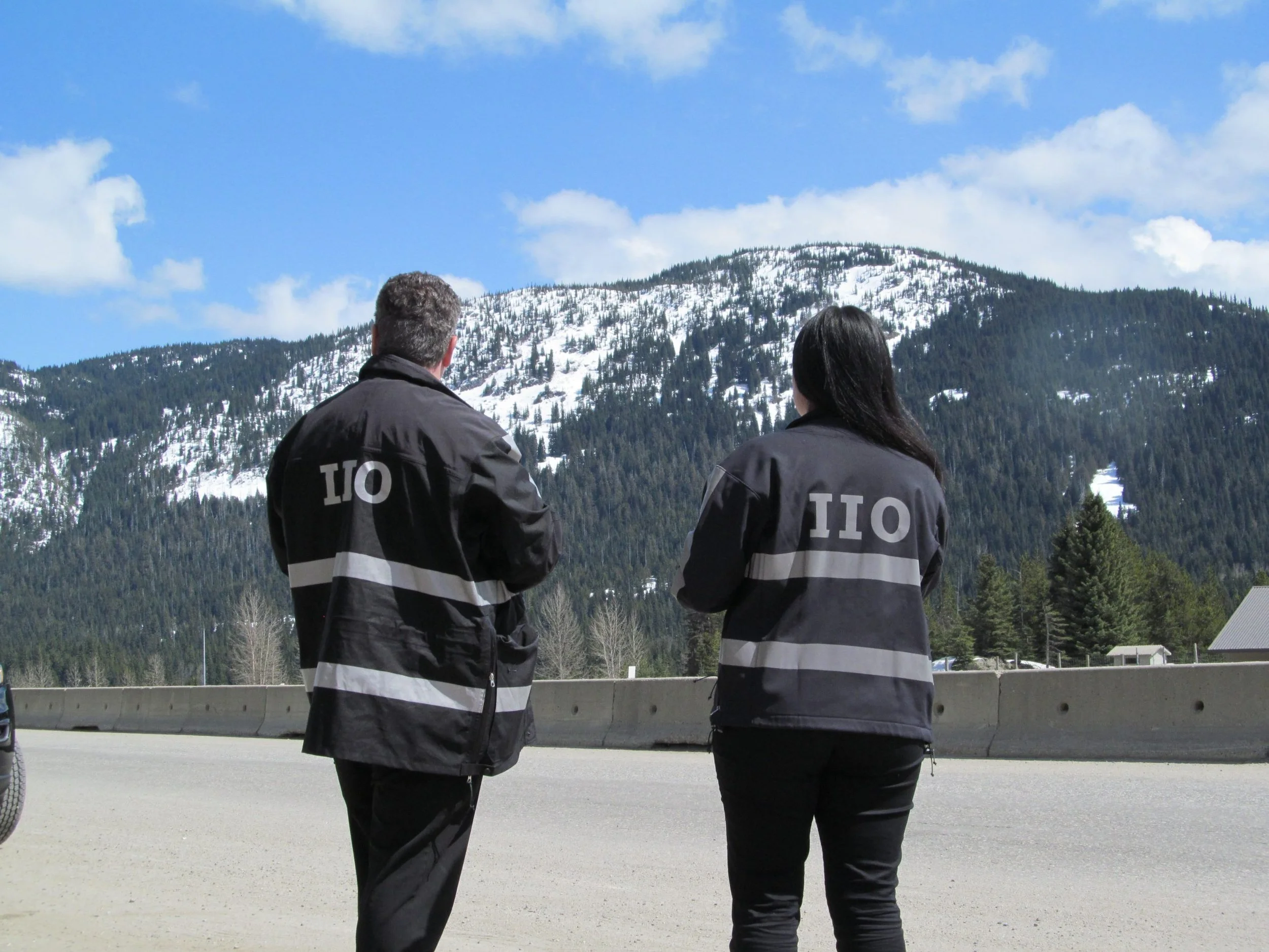







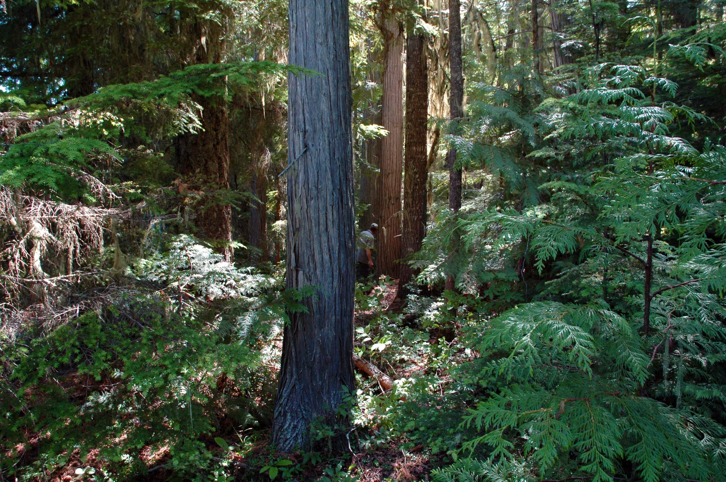

Residents across parts of the Kootenays could see smoke in the coming days as the BC Wildfire Service prepares to support six prescribed and ecosystem restoration burns across the Southeast Fire Centre.