Wildfire update: Bald Range evacuees wait for return as Mount Rollins restriction takes effect
Hooper Creek remains out of control in the Boundary, evacuation pressure has eased in the West Kootenay, while the Okanagan continues to face the most serious wildfire impacts.
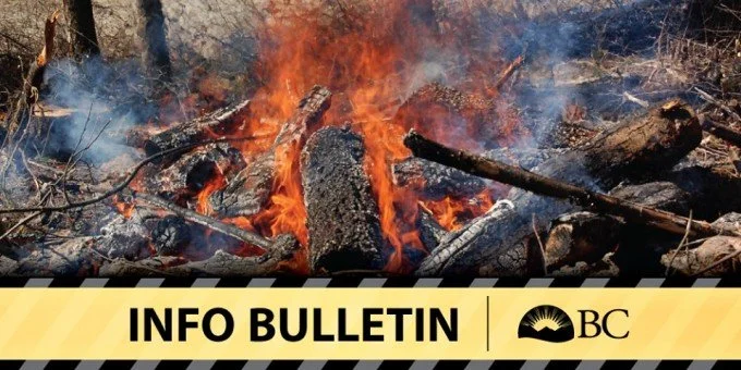
Wildfires remain active across the Southern Interior Wednesday morning, with conditions ranging from an ongoing evacuation emergency in the Okanagan to active but more remote fires in the Boundary and West Kootenay.
The Bald Range wildfire remains out of control and there is still no timeline for evacuated residents to return home. In the West Kootenay, BC Wildfire Service has imposed a new area restriction around the Mount Rollins wildfire, although the Regional District of Central Kootenay has no current wildfire evacuation alerts or orders.
Closer to home, the Hooper Creek wildfire continues to burn near Gladstone Provincial Park in the Boundary.
A wildfire smoke warning also remains in effect across all three regions.
No timeline for return as Bald Range remains out of control
The Bald Range wildfire remains the most serious fire affecting populated communities in the region.
The fire had grown to 17,802 hectares by Tuesday afternoon, with Central Okanagan Emergency Operations reporting increased activity on its north and west flanks and expansion slightly farther toward Peachland and the Regional District of Central Okanagan boundary.
Evacuation orders and alerts remain in place for affected properties in Central Okanagan West and the District of Peachland. Officials said exceptionally dry fuels and an extreme fire danger rating continued to create challenging conditions.
Farther south, residents displaced from the Summerland area are still waiting to learn when they can return home.
In a Tuesday evening briefing, the Regional District of Okanagan-Similkameen said the Bald Range wildfire remained out of control and there was no timeline for re-entry.
Emergency officials are working on re-entry planning, but utilities, power, waste disposal, road access and other safety issues have to be addressed before people can return.
Highway 97 also remained closed at the time of the 7:30 p.m. update.
The RDOS has introduced a Temporary Access Pass system, but requests are being considered only for priority emergency circumstances and essential services.
No newer RDOS or Central Okanagan Bald Range update had been posted early Wednesday morning.
Quilpituk Creek evacuation orders remain
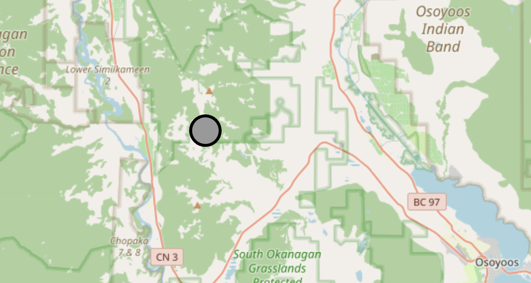
Evacuation orders and alerts also remain in place around the Quilpituk Creek wildfire in Central Okanagan West.
Emergency responders continued Tuesday to work on containing the fire along its southern edge, while planning began for the eventual return of residents.
Westside Road remained closed in both directions in the latest Central Okanagan Emergency Operations update.
The fire was listed at 1,238 hectares and out of control in the Aug. 10 Central Okanagan update. No new fire-size estimate was provided in Tuesday's local emergency update.
Emergency officials say residents will receive information about debris, spoiled food and other hazards before returning to evacuated properties.
Bradley Creek now being held
There has been better news farther north.
The Bradley Creek wildfire near Vernon is now classified by BC Wildfire Service as being held, meaning it is not expected to spread beyond its current boundaries under current conditions.
The City of Vernon says there is currently no Bradley Creek fire activity within the city itself.
Some evacuation restrictions have also been eased.
The Regional District of North Okanagan downgraded an evacuation order for several properties west of Irish Creek Road to an alert Monday night. Other properties on Cain, Nashwito, Banks, Beau Park, Siwash Creek, Six Mile Creek and Irish Creek roads remained under evacuation order in the latest RDNO notice.
Mount Rollins area restricted in West Kootenay
In the West Kootenay, BC Wildfire Service has imposed a new area restriction around the Mount Rollins wildfire, N51257.
BCWS estimated the fire at 236 hectares when it announced the restriction Monday and said lightning was the suspected cause.
The restriction covers Crown land surrounding the fire and is intended to protect both the public and wildfire responders. It is scheduled to remain in place until noon on Oct. 15 unless it is rescinded earlier.
People are generally prohibited from entering or remaining within the restricted area without authorization, although exemptions apply to activities including travel to a principal residence that is not under evacuation order, highway travel and authorized wildfire response work.
A violation can result in a $1,150 ticket.
The restriction is not an evacuation order.
Mount Rollins adds to a series of wildfires that have been burning across the West Kootenay and Slocan Valley this summer.
West Kootenay evacuation alerts lifted
Despite the continuing fires, the immediate evacuation threat has eased in parts of the Regional District of Central Kootenay.
The RDCK's most recent regional wildfire bulletin said there were no evacuation alerts or orders in effect.
An evacuation alert affecting 30 properties near the Poplar Creek wildfire was rescinded Aug. 6, while an alert associated with the Inonoaklin Creek wildfire was rescinded Aug. 7.
At the time of the RDCK's Aug. 7 bulletin, Poplar Creek had reached 292 hectares and crews and helicopters were working to limit its spread.
Inonoaklin Creek was listed at 1,223 hectares, with heavy equipment, crews and helicopters assigned to the fire.
Area restrictions remain an important part of the response around active fires even where evacuation alerts have been lifted.
Recreational off-road vehicle use on Crown land has also been prohibited throughout the Southeast Fire Centre since noon Monday because of the elevated wildfire danger and the number of fires burning across the region.
Hooper Creek continues to burn in the Boundary
In the Boundary, the Hooper Creek wildfire, N61319, continues to burn near Gladstone Provincial Park.
Current BC Wildfire Service-derived incident information lists the lightning-caused fire at approximately 50 hectares and out of control.
There are no wildfire evacuation alerts or orders associated with Hooper Creek.
The fire remains relatively small compared with the largest fires burning elsewhere in the Southern Interior, but it continues to be one of the active fires of particular local interest in the Boundary.
Smoke warning continues across all three regions
Smoke remains the common thread across the Boundary, West Kootenay and Okanagan.
The province's latest wildfire smoke warning, issued Tuesday, says the Central and Southern Interior remain widely affected and that smoke conditions can change quickly over short distances and from hour to hour.
The warning specifically includes the Boundary, including Grand Forks, Midway and Greenwood; the West Kootenay, including Nelson, Castlegar, Trail and Rossland; and the Central, North and South Okanagan. Arrow Lakes-Slocan Lake and Kootenay Lake are also included.
The province advises people to reduce or postpone strenuous outdoor activity when smoke levels are high and to spend time in cleaner indoor air where possible.
A new provincial air-quality update is expected Wednesday.
Wildfire conditions can change quickly. Residents near active fires should continue to follow BC Wildfire Service and their local emergency management authority for evacuation and access information.
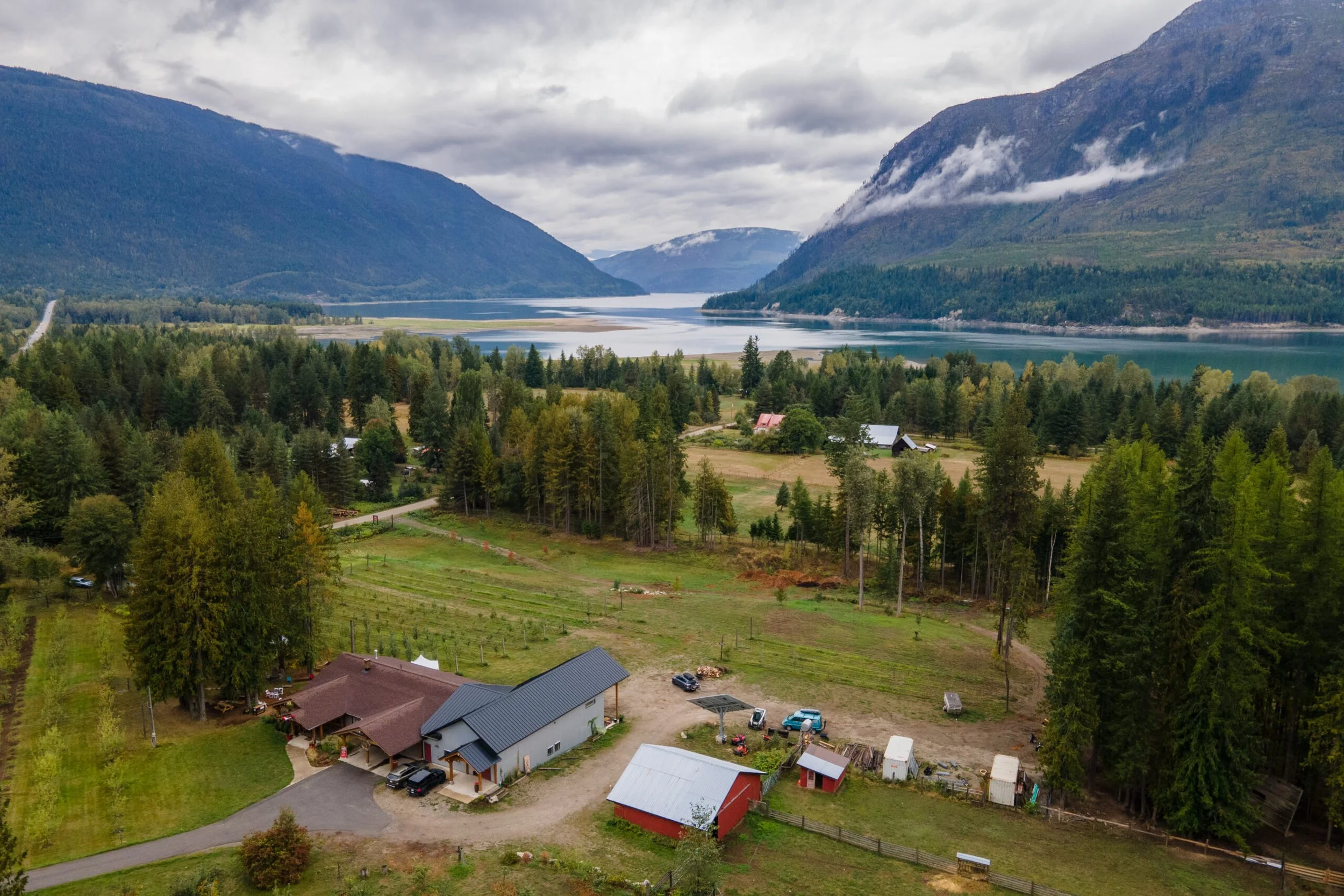






Residents across parts of the Kootenays could see smoke in the coming days as the BC Wildfire Service prepares to support six prescribed and ecosystem restoration burns across the Southeast Fire Centre.