Air quality improves after rain, cooler weather move through Grand Forks
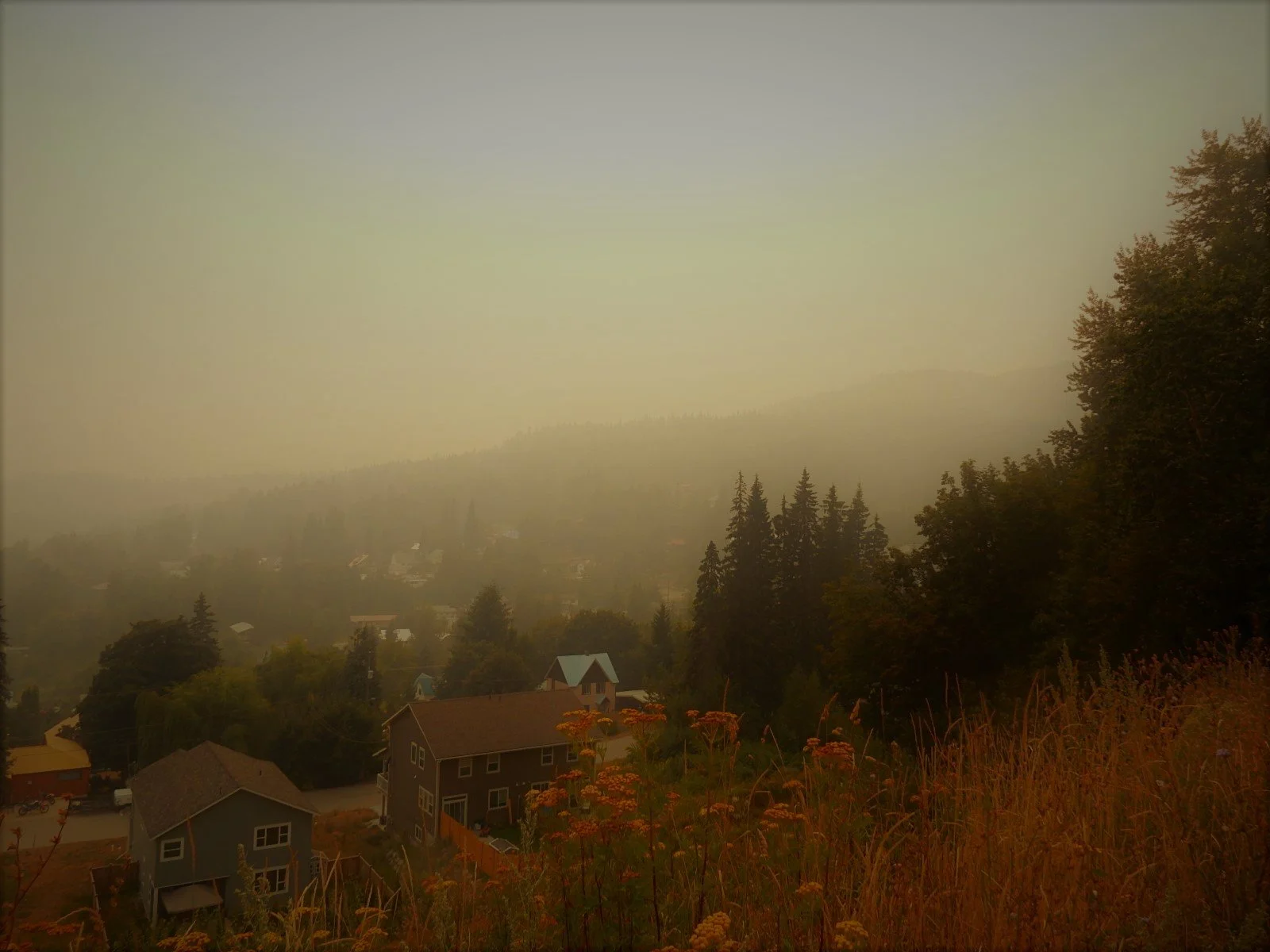
File photo
Grand Forks saw a dramatic improvement in air quality Thursday and Friday morning, while conditions also cleared across much of the West Kootenays and Okanagan. The reprieve may be temporary, however, with wildfire smoke expected to build again in parts of the region.
After days of wildfire smoke hanging over the Boundary, the air over Grand Forks looked considerably different by Friday morning.
Rain fell in the city Thursday as a cooler, wetter weather pattern moved through the southern Interior. Friday morning, the provincial air-quality monitor at Grand Forks City Hall was recording fine particulate matter, or PM2.5, at just 3.7 micrograms per cubic metre.
The change fits a broader shift that began across the southern Interior earlier this week. In its Aug. 12 wildfire smoke warning, the B.C. Ministry of Environment and Parks said cooler, wetter and more convective conditions were producing clearing and improved air quality across many parts of the Central and Southern Interior.
Rain can help remove particulate matter from the atmosphere. Environment and Climate Change Canada says airborne particles can attach themselves to water droplets and be removed through rain or snow, while wind and changing atmospheric conditions also affect where smoke travels and how concentrated it becomes.
The improvement in Grand Forks came as part of a broader change in weather across the southern Interior that also affected the movement and dispersal of wildfire smoke.
The Boundary remained included in the province's wildfire smoke warning Thursday, covering Grand Forks, Midway and Greenwood. The province cautioned that wildfire smoke can change quickly over short distances and from one hour to the next.
The improvement was also apparent farther east.
On Wednesday, the province's smoke warning still included the West Kootenay region, including Nelson, Castlegar, Trail and Rossland, as well as Kootenay Lake. By Thursday's update, West Kootenay and Kootenay Lake had been removed from the list of affected regions, although Arrow Lakes-Slocan Lake remained under the warning.
Environment Canada's hourly record for Castlegar showed the Air Quality Health Index at 2, or low risk, through much of Thursday afternoon before falling to 1 at 5 p.m. It remained at 1 through Friday morning.
The improvement across the Okanagan was more uneven.
Both the North and Central Okanagan were sitting in the low-risk category Friday morning. The North Okanagan had an AQHI of 2 at 10 a.m., after readings of 3 through much of Thursday afternoon and evening. The Central Okanagan followed a similar pattern, dropping from 3 Thursday afternoon to 2 by early evening and remaining there through Friday morning.
The South Okanagan experienced a much sharper swing.
At 10 a.m. Thursday, its AQHI was above 10, in the very high-risk category. It fell to 9 an hour later and 7 by noon, before reaching 3 by mid-afternoon and 2 through most of Thursday evening and overnight.
The improvement did not hold consistently. At 9 a.m. Friday, the South Okanagan AQHI abruptly climbed back to 8, or high risk, before falling to 3 again at 10 a.m.
Separate provincial PM2.5 readings Friday morning also showed considerable variation across the region. Grand Forks City Hall was recording 3.7 micrograms per cubic metre, compared with 11.3 at Kelowna's KLO Road station and 11.8 at the Vernon Science Centre. Penticton's Debeck Road station was at 5.2.
The rapidly changing South Okanagan readings are also a reminder that clearer skies Friday morning do not necessarily mean the smoke is finished.
Environment Canada was forecasting the South Okanagan to reach a maximum AQHI of 8 Friday, with conditions potentially exceeding 10 where smoke is present. Similar conditions are possible Saturday.
The North and Central Okanagan were both forecast to rise to moderate risk Friday, with high-risk readings possible in smoke. By Saturday, Environment Canada was forecasting an AQHI of 7 for both regions, with the Central Okanagan potentially reaching very high-risk conditions in smoke Saturday night.
Castlegar was also forecast to deteriorate from Friday morning's cleaner conditions. Environment Canada was calling for a maximum AQHI of 4 Friday, with readings as high as 7 possible in smoke, and potentially as high as 10 on Saturday.
Grand Forks could see more unsettled weather before conditions dry out. Environment Canada's Friday forecast called for a 30 per cent chance of showers and a risk of thunderstorms during the afternoon, with another chance of showers Friday evening. Saturday is expected to become hazy later in the morning and afternoon.
For now, Friday morning offered a noticeable break from the smoke across much of the Boundary and West Kootenays and parts of the Okanagan. With active wildfires still producing smoke and winds capable of moving it rapidly through Interior valleys, however, the cleaner air may prove to be a temporary window rather than the end of the region's smoky spell.




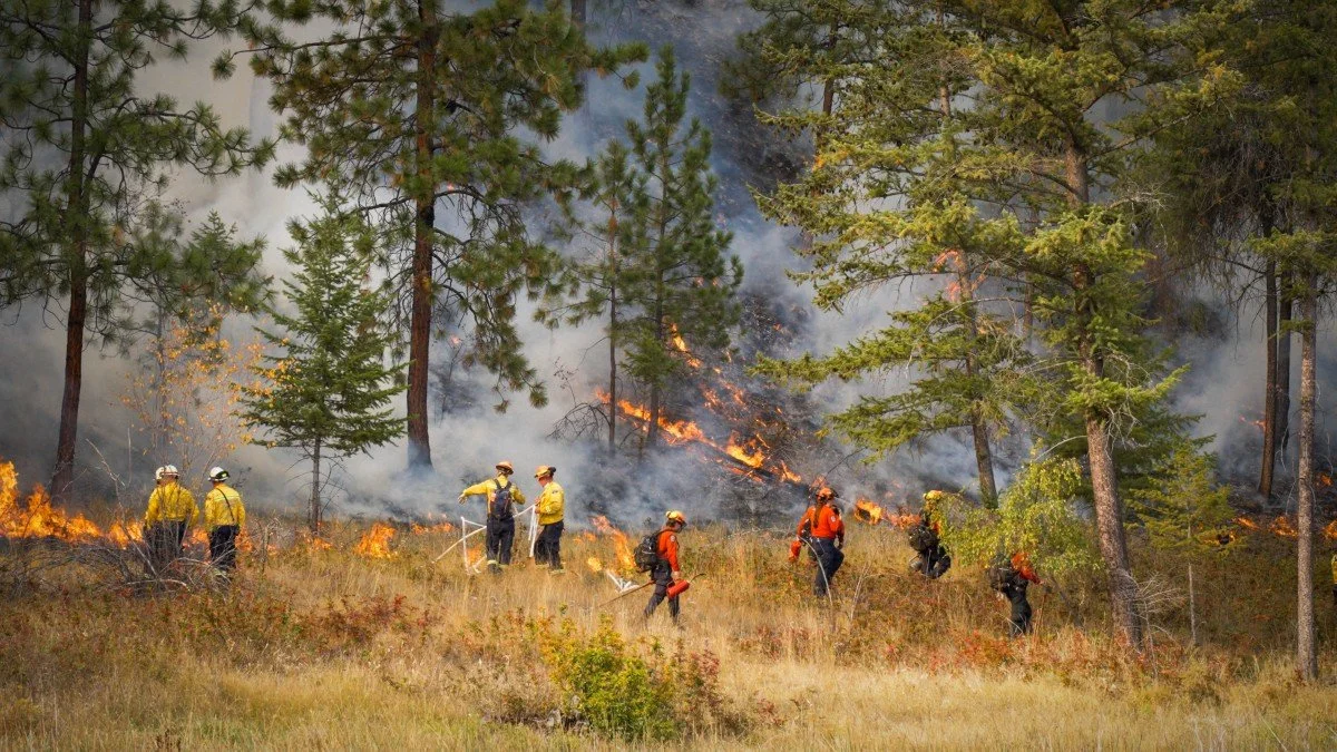

The Regional District of Okanagan-Similkameen has approved funding for a post-wildfire rainfall-monitoring pilot in priority areas affected by the Bald Range wildfire in Electoral Area F.