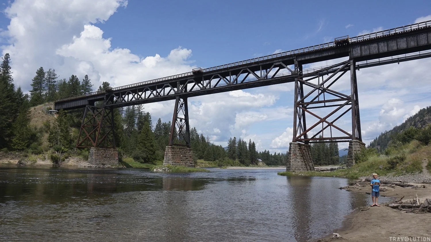
RDKB updating decades-old floodplain maps in Rural Grand Forks, West Boundary
Some floodplain maps still used under the Regional District of Kootenay Boundary’s current bylaw date to 1992 and 1997, as the regional district develops new mapping for Rural Grand Forks and the West Boundary.